
GIS professional and map nerd | Outdoor enthusiast | UAS pilot - aerial photographer
Welcome! You found a professional geographer - a scientist who searches for new knowledge about our coupled human and physical environments.
I love helping students develop thier critical spatial thinking skills in both the field and the office. I specialize in Geographic Information Science & Technology (GIS, GPS, cartography etc), which is a STEM field, I use small drones to collect aerial photography, and I enjoy building sweet maps.
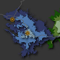
GIS2
GEO363: Intermediate GIS
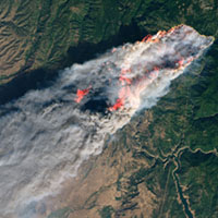
GIS3
GEO420: Advanced GIS
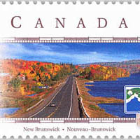
US & Canada
GEO103: Geography of the US & Canada
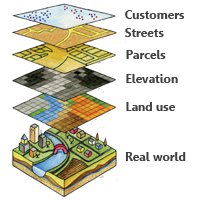
Applied GIS
GEO517: Applied GIS
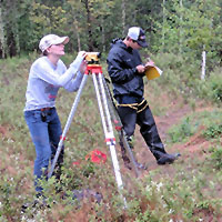
Field Techniques
GEO440: Field Techniques in Geography
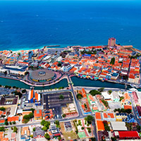
Curaçao
GEO190: Globalization in the Caribbean